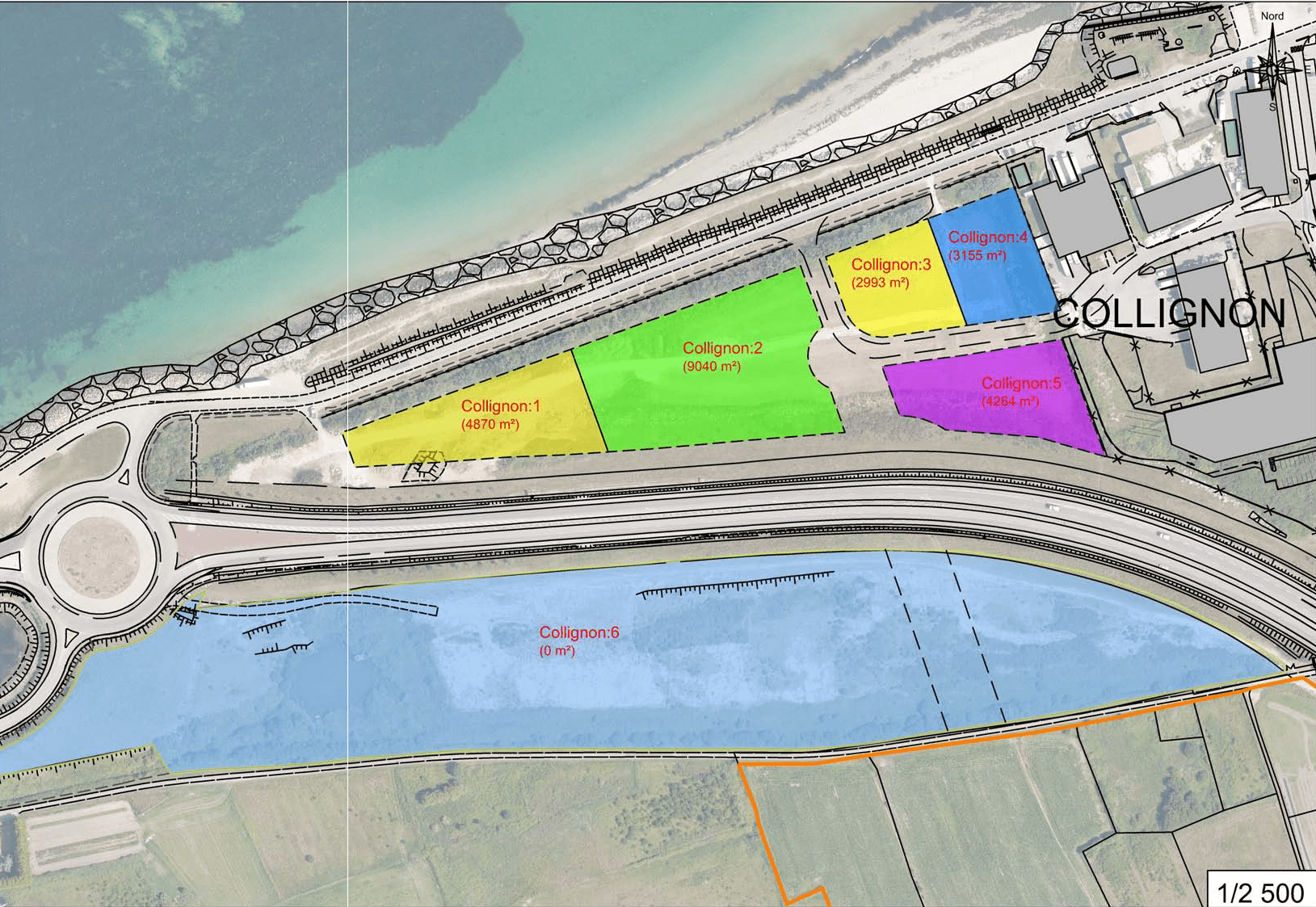
Port de Cherbourg Collignon EN
Land for the fishing industry - 40,140 m²
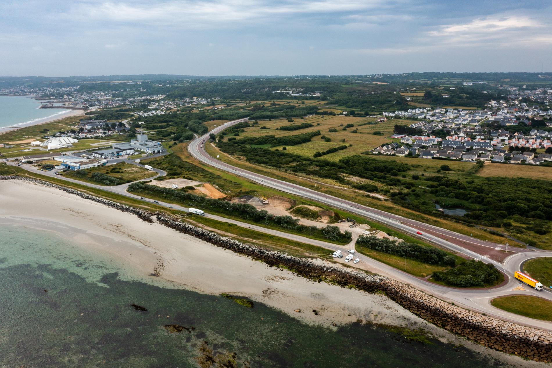
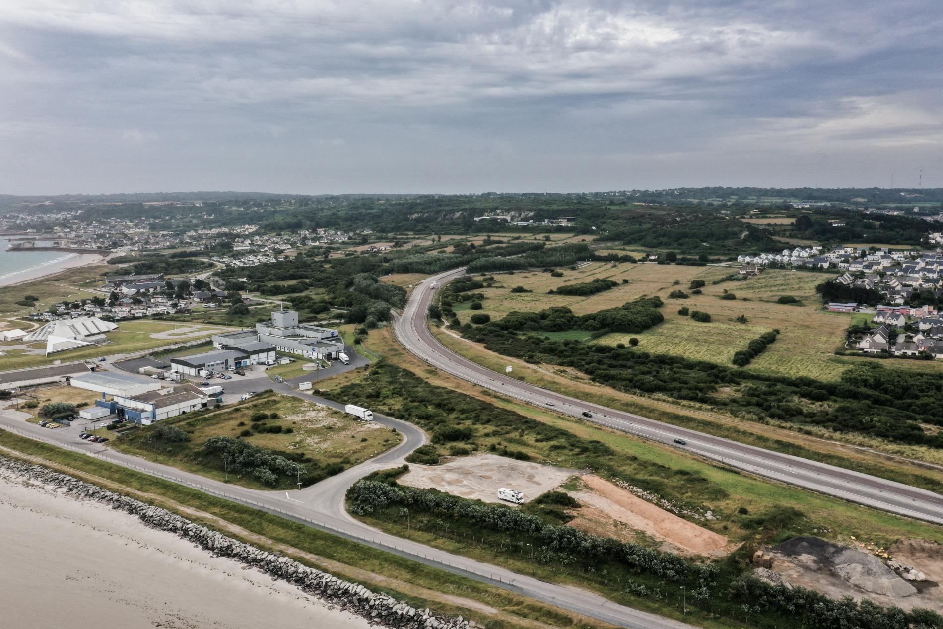
Sizeable plot of land with various mains services on site and easy access from the Rond-pont des Flamands junction. Seawater provision possible.
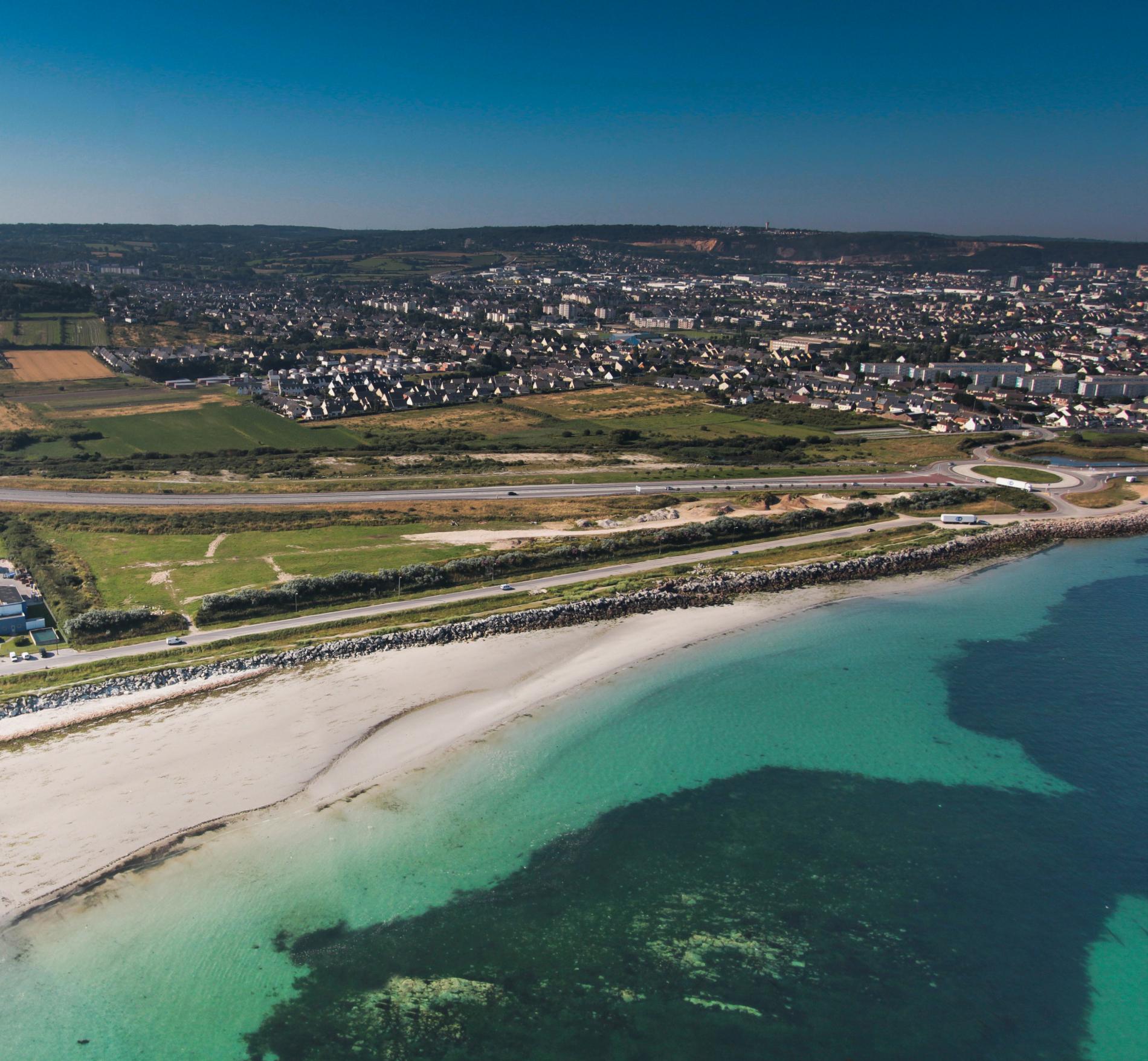
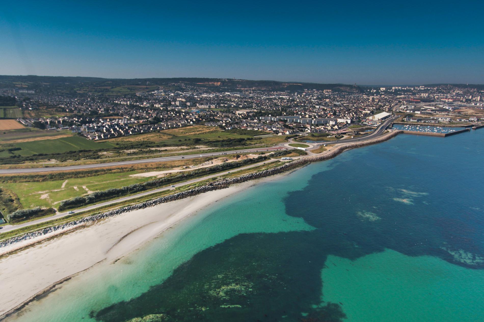
The land is situated between Boulevard de Collignon and the N13 road. The Rond-point des Flamands junction is at the western tip of the plot and the Zone d'Activités de Collignon business park lies to the east. The sea lies a mere 35 metres to the north. Also, the land overlooks the boulevard de Collignon.
Useful Information
Document(s)
Download
PortdeCherbourg-CollignonNord-PlanZone
Document
PortdeCherbourg-CollignonNord-PlansZone.pdf (327.5 KB)
PortdeCherbourg-CollignonNord-PlanMasse
Document
PortdeCherbourg-CollignonNord-PlanMasse.pdf (280.26 KB)
Contact(s)
Christophe Fouquet
Industrial clients
+33(0)6 46 52 98 84
christophe.fouquet@portsdenormandie.fr
Imprimer la page
Characteristics
Situation / Services
- Sizeable plot of land: 40,410 m²
- Easy access via the Rond-point des Flamands junction
- Various mains services on site
- Area reserved for the fishery products
- Seawater provision possible
Specifications
- Generally flat plot of land overlooking the Boulevard de Collignon, enclosed by fencing and trees.
- An area of compacted fill and gravel, the remainder wasteland.
- Sewerage: yes
- Drinking water: yes
- Electricity: yes
Planning
- Subject to the Zone 2AUz section of the Cherbourg planning regulations document (PLU) dated 19 December 2007.
- Siting in accordance with existing communications and 100 m from the sea.
- Building prohibited within a 100-metre swath from the centre of the N13 and the sea.
- Use to be consistent with the business park’s activities.
- Threat of flooding by the sea.
- Land unsuitable for development in accordance with the planning regulations in force.
Location
- Situated in Tourlaville
- 4 km from the centre of Cherbourg
- On the RN13 road to Caen
- 120 km from Caen
- 230 km from Rennes
- Direct access to the sea

